Free Shipping Available – We Ship Worldwide!
As seen on
“Wild World” is a hand-drawn map of our planet that both inspires and celebrates wonder." – The New York Times
FAQ's
Shipping & Taxes
All orders ship from Australia. Some international orders may be subject to your local VAT or import tax upon arrival (this does not apply to the USA, NZ, and usually the UK). For more details, please see the Taxes & Duties section on our Shipping Policy page.
US customers: thankfully, maps are exempt from the new global tariffs announced in 2025. No extra charges will apply upon arrival, the price you see here is final.
Why did I draw Wild World?
In 2020, I began fulfilling a childhood dream to make a world map of nature. I never dreamed that quest would lead me here: a vast project requiring thousands of hours. With intensive research and endless drawing, I was led on a 3-year odyssey.
Was it hard at times? Very – it required relentless dedication. But I loved every minute. I learned so much about nature and animals across the Earth, and saw those lessons form into a grand artwork before my eyes. This is a passion project borne from my own love of nature, and a desire to celebrate this planet.
What happens when you remove the countries from a map? The imaginary lines disappear and you see Earth at its foundations. A grand display of geography at its rawest, nature without our dominance. Immerse yourself; see wildebeest beneath Kilimanjaro, poison frogs in the Amazon, narwhal under sea ice, deadly snakes in the Outback. Let your eyes wander to bald eagles over the Great Plains, blue whales in ocean trenches, snow leopards in the Himalayas, and emperor penguins huddling in the Antarctic. Thousands of stories unfold across one stunning print.
Wild World is a vivid artwork and an accurate physical world map – an amazing way to learn about the planet. Lose yourself in the details while gaining knowledge about geography & wildlife. Rivers, deserts, mountains, and more are labeled carefully, teaching geography through the artwork. This is an educational resource and, a perfect map for anyone with the slightest love of animals, geography, nature... a map to discover new details in for years to come.
Custom sizes, Wholesale, Education discounts
Do you want a custom-sized print? Are you interested in wholesale pricing, or maps for your school?
We can accommodate all of these. Email welcome@antonthomasart.com with your request.

Explore
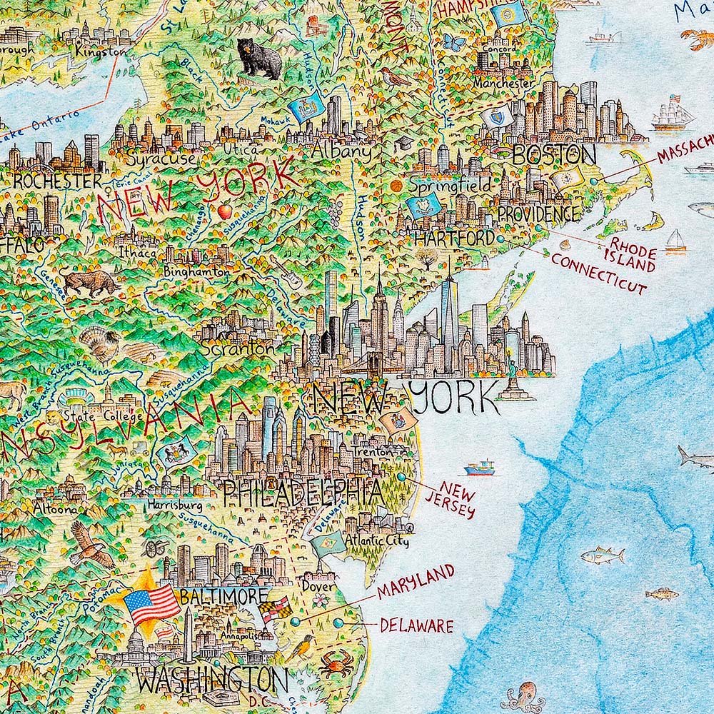
North America: Portrait of a Continent
This epic map spans from Alaska to Central America, with over 600 city skylines. Hand-drawn with pen and coloured pencil over 5 years, this is North America like you've never seen it.


